Precision Aerial Surveys & Insights
Using advanced drone technology, we provide high-quality aerial photography, video, and detailed survey reports tailored for landowners, estate agents, and builders to support informed decisions.
Delivering Clear Aerial Data with Integrity
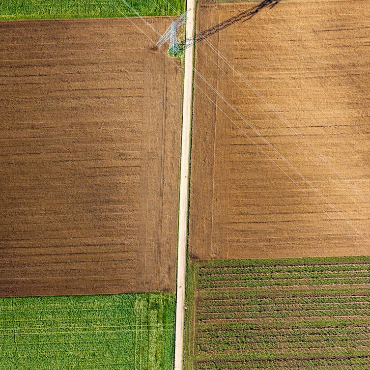
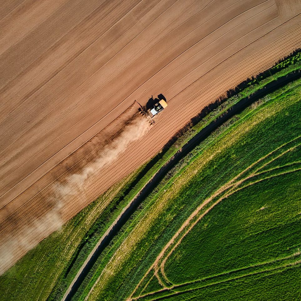
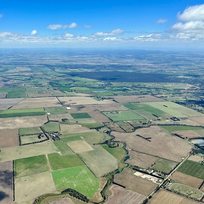
Sky High Insights leverages cutting-edge drone equipment to capture comprehensive aerial views and surveys. Our focus is on providing discreet, honest, and proactive services that meet the exacting needs of estate agents, farmers, builders, and landowners through precise photography and expert analysis.
10+
Years Delivering Excellence
500+
Projects Completed
98%
Satisfied Professional Clients
Advanced Drone Technology
Utilising the latest drones to capture detailed land and building imagery with precision.
Comprehensive Reporting
Providing thorough written reports alongside stills and video for complete understanding.
Trusted Professionalism
Maintaining discretion, reliability, and honesty in every project for all client types.