Trusted Aerial Survey Specialists
Our Story and Mission
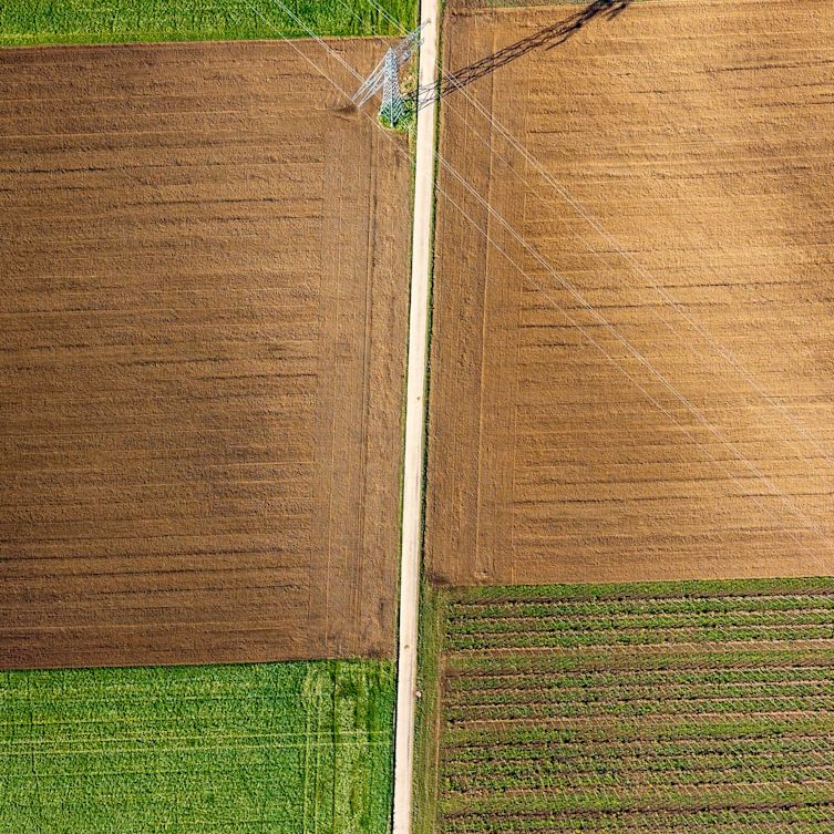
Sky High Insights was founded to provide professionals with reliable aerial photography and surveying that combines expertise with advanced drone technology. We value discretion, honesty, and proactive service, striving to empower estate agents, builders, farmers, and landowners with clear, actionable insights for better decision-making.
Partner with Us for Expert Aerial Services
Whether you require detailed land surveys, comprehensive flood monitoring, or high-resolution aerial imagery, we deliver precise data and thorough reports you can trust. Contact us to explore how our services can support your projects with clarity and professionalism.